


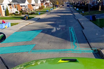


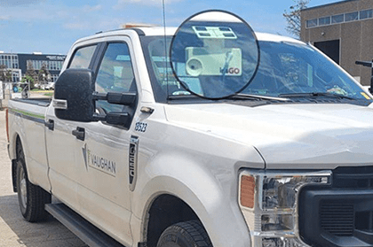
City of Vaughan Case study
Read how City of Vaughan increased the accuracy of their compliance reporting by 25%.
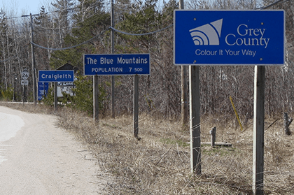
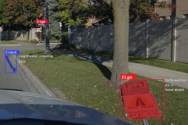
Grey County case study
Read how Grey County cut pavement inspection time by more than 50%.

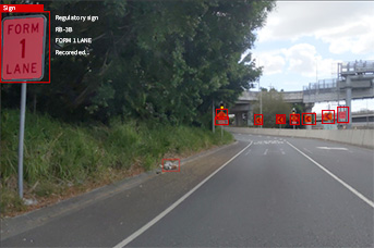
Modernize roads: Prioritize safety and compliance w/ Brantford | IRF Global
Watch this exclusive webinar about how Brantford, Canada, modernized their road maintenance and improved.
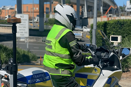
Brisbane, Australia: Egis x Iris R&D Group collaboration
Iris partnered with Egis to strengthen road user safety and maintenance service levels on critical road and tunnel infrastructures in Brisbane.